
Nova Scotia Hydrographic Network (NSHN) – Now Available!
 February 10, 2020
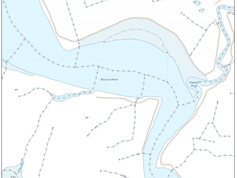
The Nova Scotia Hydrographic Network (NSHN) geographic dataset is the authoritative source for Nova Scotia’s inland surface water. The NSHN is now available under an open data license and the shapefile may be downloaded at https://data.novascotia.ca/. The NSHN is also available on the Geographic Data Directory https://nsgi.novascotia.ca/gdd/ with DXF, MIF, GDB, & SHP products plus options for NAD83 (v3 or v6) and CGVD (1928 or 2013).
A new map service showing the directional flow of the various NSHN water features is also available. This may be accessed on the Geographic Data Directory, aka the GDD also.
This dataset consists of the following types of water related features: Lakes; Rivers; Islands; Swamps; Breakwaters; Wharves; Canals; Coastlines; Ditches; Dams; Dykes; Falls; Rapids; Reservoirs; Flumes; Basin Delimiters and Network Spines. The NSHN conforms to the federal government's National Hydrographic Network (NHN) specification which is a topologically clean, networked set of points, lines and polygons. Attribution includes toponyms on all officially named features as well as flow direction and stream priority attribution. Various NSHN attribute specifications are provided within the download including feature codes and their descriptions.
If you have questions or feedback please contact us by email: GeoInfo@NovaScotia.ca
