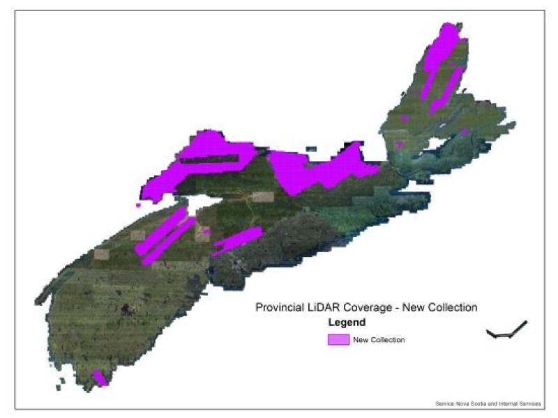
The Government of Nova Scotia is releasing new LiDAR data that covers select parts of Nova Scotia including Cumberland, Pictou & Antigonish counties, as well as additional areas to fill existing data gaps in coverage mainly in the Cape Breton region, as well as Hants, Halifax, and Kings Counties. This LiDAR data includes LAZ point cloud data and various LiDAR derived products.
Check out DataLocator - Elevation Explorer to view the current coverage of our LiDAR data available for Nova Scotia. Elevation Explorer allows users to easily select and download available tiles self serve on demand. Using the identify tool from the applications toolbar you can access the metadata fields available for each tile.
Stay tuned for more updates as we continue to release more Nova Scotia LiDAR.
Email [email protected] for any of your LiDAR related inquiries!
