Latest News

June 16, 2026
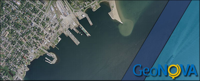
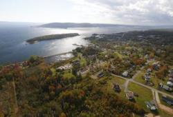
New orthophotography is now available for parts of Nova Scotia.
We are pleased to announce the release of new imagery from 2024 and 2025 for selected areas of the province:
- 2024 imagery is now available for Eastern Nova Scotia

June 16, 2026
Overview
GeoNOVA is pleased to announce the release of new aerial photography captured in 2025. This imagery is now available to support GIS, mapping, and planning work across the province.
Coverage and
Browse our Mapping Products
We are working on a new online store for you. During the transition, you can still place orders for mapping products such as map books and atlases, aerial photography, and topographic maps. Please call 1-800-798-0706 (in Nova Scotia or PEI) or 1-902-667-7231 to place your order.
For a complete inventory of products and services available from Geographic Information Services, view our GIS Price List.
