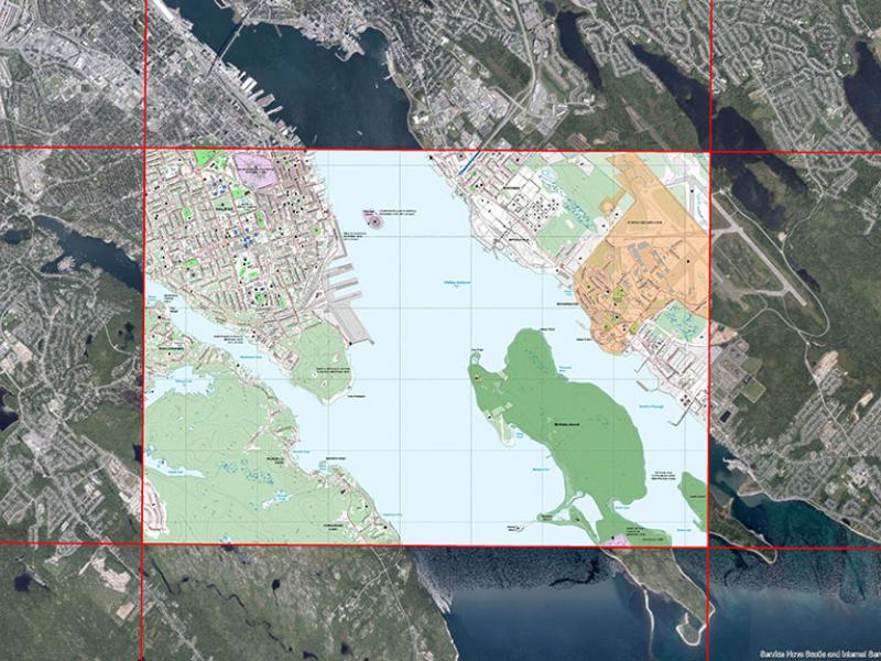
Nova Scotia Topographic Map, Georeferenced Images now available!
 September 8, 2022
The Government of Nova Scotia is releasing the most current version of the Nova Scotia Topographic Map as georeferenced images! These colourful raster images can be added directly into a GIS system and used as a background or for other mapping needs. The images are available for download using DataLocator.
These georeferenced map tiles contain:
- JPG image format with JPG world file (JPW)
- Standard symbolization for Nova Scotia 10k topo maps
- Clipped map contents only
Users can open the file in compatible map applications for route tracking, GPS navigating and other offline activities that may be available.
Please email geoinfo@novascotia.ca for any of your topographic mapping questions!


