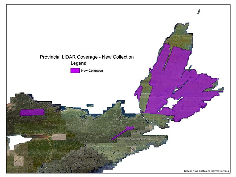
The Province is releasing new LiDAR data that covers select parts of Cape Breton Island and Central Nova Scotia. This LiDAR data includes LAS point cloud data and various LiDAR derived products that are available free of charge and available with an unrestricted data licensing agreement.
Check out DataLocator - Elevation Explorer to view the current coverage of our LiDAR data available for Nova Scotia. Elevation Explorer allows users to easily select and download available tiles self serve on demand. We now have enhanced metadata fields for more specific dates and times for actual LAS tile collection based on client feedback. Using the identify tool from the applications toolbar you can access the metadata fields available for each tile.
Stay tuned for more updates as we continue to release more Nova Scotia LiDAR. Email [email protected] for any of your LiDAR related inquiries!
